The opening session of the Princeton Wintersession workshop “Safeguarding Amazonia” — based on the innovative work of Brazilian startup MapBiomas — will be live-streamed for the public beginning at 3 p.m. Monday, Jan. 18, on the Brazil LAB’s YouTube channel.
Brazilian environmentalist TassoAzevedo, director of MapBiomas, and his colleagues will introduce the work of MapBiomas — a network of Brazilian scientific institutions, civil-society groups and startups — and how the creative mobilization of maps and visual evidence can be used to fight for environmental justice and against deforestation.
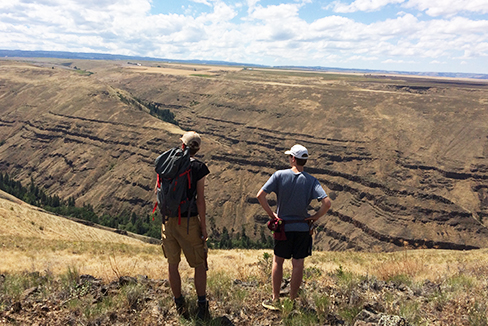
The full workshop runs through Friday, Jan. 22, for registered Princeton faculty, staff and students. The workshop will provide instruction on using machine learning, cloud computing and network collaboration to produce large-scale, fine-resolution multi-temporal maps and analyses of land cover and land use, with a particular focus on the Amazon. The sessions will explore how civil society, business and policymakers use such visual evidence to advocate for equality and conservation. Participants will produce their own land-cover maps and analyses from satellite images.
The workshop is co-sponsored by the High Meadows Environmental Institute (HMEI), the Brazil LAB, the Department of Anthropology and the Princeton Institute for International and Regional Studies (PIIRS). It is organized by Brazil LAB director João Biehl, the Susan Dod Brown Professor of Anthropology; HMEI directorMichael Celia, the Theodora Shelton Pitney Professor of Environmental Studies; and Miqueias Mugge, associate research scholar in PIIRS.
The opening session of the Princeton Wintersession workshop “Safeguarding Amazonia” — based on the innovative work of Brazilian startup MapBiomas — will be live-streamed for the public beginning at 3 p.m. Monday, Jan. 18, on the Brazil LAB’s YouTube channel.
Brazilian environmentalist TassoAzevedo, director of MapBiomas, and his colleagues will introduce the work of MapBiomas — a network of Brazilian scientific institutions, civil-society groups and startups — and how the creative mobilization of maps and visual evidence can be used to fight for environmental justice and against deforestation.
The full workshop runs through Friday, Jan. 22, for registered Princeton faculty, staff and students. The workshop will provide instruction on using machine learning, cloud computing and network collaboration to produce large-scale, fine-resolution multi-temporal maps and analyses of land cover and land use, with a particular focus on the Amazon. The sessions will explore how civil society, business and policymakers use such visual evidence to advocate for equality and conservation. Participants will produce their own land-cover maps and analyses from satellite images.
The workshop is co-sponsored by the High Meadows Environmental Institute (HMEI), the Brazil LAB, the Department of Anthropology and the Princeton Institute for International and Regional Studies (PIIRS). It is organized by Brazil LAB director João Biehl, the Susan Dod Brown Professor of Anthropology; HMEI directorMichael Celia, the Theodora Shelton Pitney Professor of Environmental Studies; and Miqueias Mugge, associate research scholar in PIIRS.